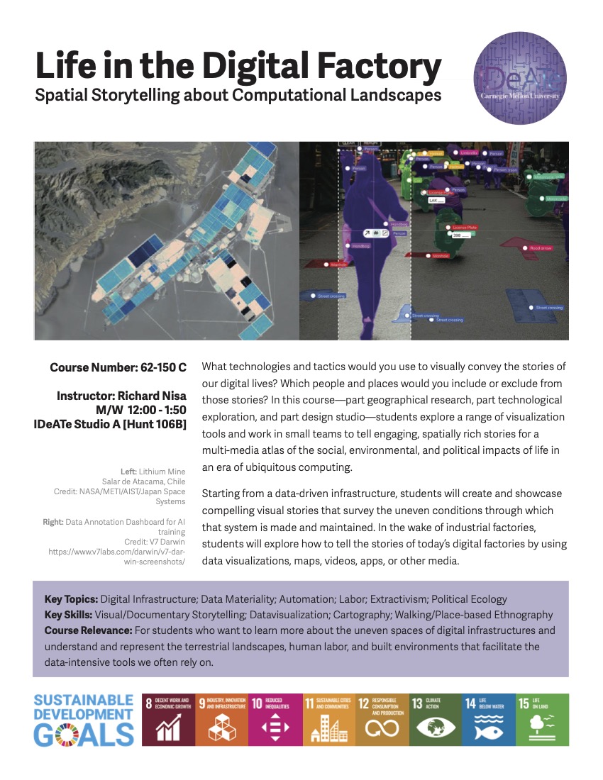
What technologies and tactics would you use to visually convey the stories of our digital lives? Which people and places would you include or exclude from those stories? In this portal section of Media Synthesis—part geographical research, part technological exploration, and part design studio—students explore a range of visualization tools and work in small teams to tell engaging, spatially rich stories for a multimedia atlas about life in an era of ubiquitous computing.
The industrial period that defined so much of Pittsburgh’s urban history left its marks across the city and beyond. The consequences of steel production, for instance, were evident in the city’s factories and segregated housing, in its smog-filled air and smoke-stained buildings, in the highways and rail lines that connected sites of extraction, production, and consumption, and in the weary steel workers’ tired and battered bodies.
Today’s Pittsburghers are living through the transformative impact of the fourth industrial revolution, one whose rhythms are tapped out by enormous computational power and automated urban technologies. In contrast to the heavy pollution of the past, these infrastructures are often presented as fleeting, lightweight, and sustainable. But hidden behind these automated processes are places and people—the producers and users of digital infrastructure, whose workplaces, relationships to sites of resource extraction, and strategies for political and economic power are all widely varied and context dependent.
Our everyday lives, that is, are infused with computational infrastructures like cloud-based apps and software, environmental sensors, digital dashboards, urban platforms, and an ever-expanding array of smart objects and services. From the deeply personal scale of an online dating profile to the planetary scale of transnational financial flows, these systems impact how we communicate, how we consume, how and where we work, how distant places are connected, how we relate to ourselves and one another, and how people and things move through space.
Students in this class will learn new skills and experiment with creative combinations of tools for digital map-making/GIS, data visualization, augmented reality, and video-editing software to tell immersive space-and-place-based stories that defamiliarize, decode, or recode aspects of the social, environmental, and political worlds made through these computational landscapes.

